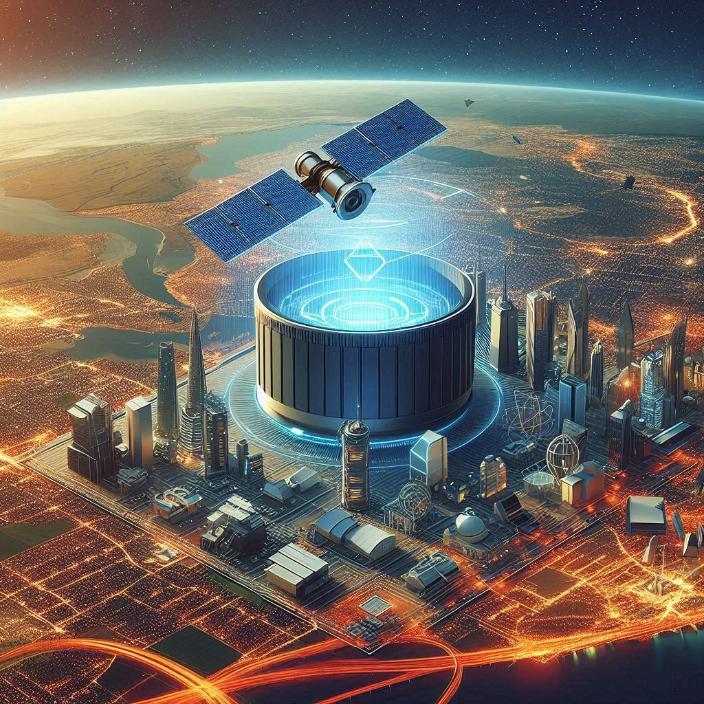


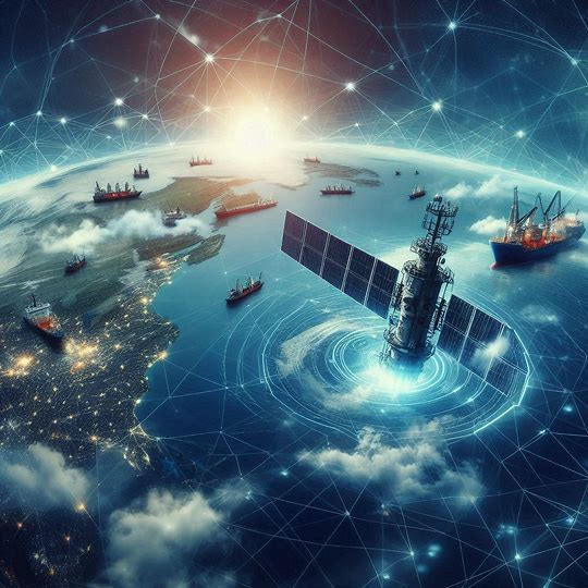
Our satellite constellation service provides comprehensive Earth observation capabilities, delivering unparalleled access to high-resolution data for any location on the planet. Leveraging a network of advanced satellites, we offer continuous monitoring and real-time insights, regardless of weather conditions or time of day.

Our constellation ensures complete global coverage, allowing for data collection and analysis from the most remote to the most densely populated areas on Earth.

Equipped with sophisticated sensors, including synthetic aperture radar (SAR) and optical imagers, we can capture data in any condition, providing reliable observations.

We deliver high-resolution images and data, enabling detailed analysis and monitoring of various land, oceanic, and atmospheric conditions.

Our advanced analytics and AI-driven insights transform raw data to be used across sectors like agriculture, defense, disaster response, environmental monitoring, and urban planning.
Agriculture Precision farming, crop monitoring, and yield prediction
Disaster Response Real-time alerting of natural disasters
Environmental Monitoring Realt-Time Tracking climate indicators
Urban Development Infrastructure planning analysis and smart city applications
Security & Defense Border monitoring, surveillance, and strategic planning
Only SAR (Synthetic Aperture Radar) Data satellites can collect images in any weather.
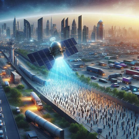
Detect and react to activities quickly and effectively, and predict to future events to ensure national security.

Get visibility to any location of interest and detect potential threats using SAR images to identify anomalies.
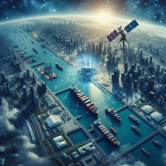
Track changes & get actionable intelligence on port operations, anywhere to prevent possible national security issues.
Monitor maritime activity in any weather, react quickly to potential security threats and illegal activities.
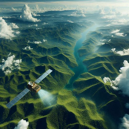
Monitor and detect deforestation activities and take timely action against the destruction of forest ecosystems.
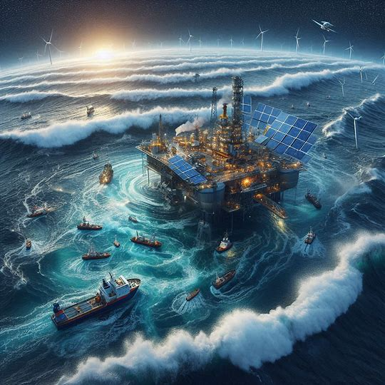
Monitor oil spill incidents in any weather and react in real-time to safeguard marine life & prevent loss of oil.